CorrLeader Map Demos
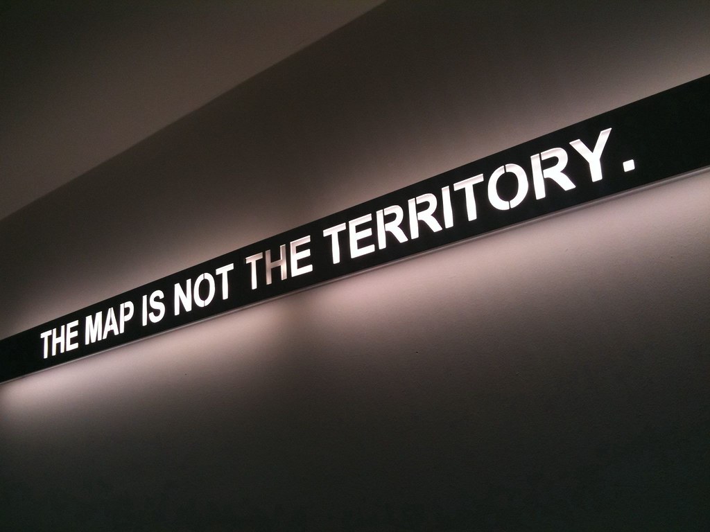 THE MAP IS NOT THE TERRITORY flickr photo by Paul Keller shared under a Creative Commons (BY) license
These maps are prototypes for a map metaphor interface for the CorrLeader project. While not the territory, the map aids in exploring it.
- First Prototype - square map, first experiment with Leaflet. Tooltips on map.
- Second Prototype - base map generated with different tool, rectangular map.
- Layers - Modification of second prototype, testing using the top right interface to toggle different layers or parts of map, on an off.
Background image: Monochrome version of MediaWiki Commons public domain image "British Columbia 1896".
